No. 002
Buddy Holly 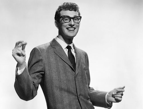
Buddy Holly Turns 90: Why Lubbock Waited Two Decades to Celebrate Him
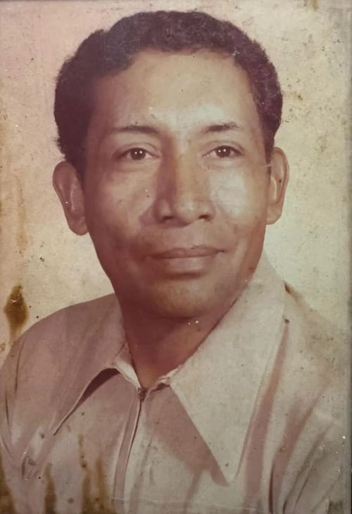
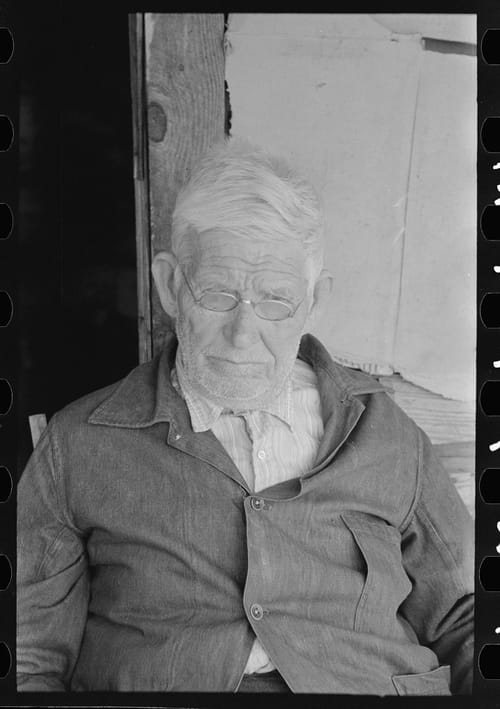
Buddy Holly was born in Lubbock on September 7, 1936, and died in a plane crash 22 years later. The city that raised him didn't put up a statue until 1980.
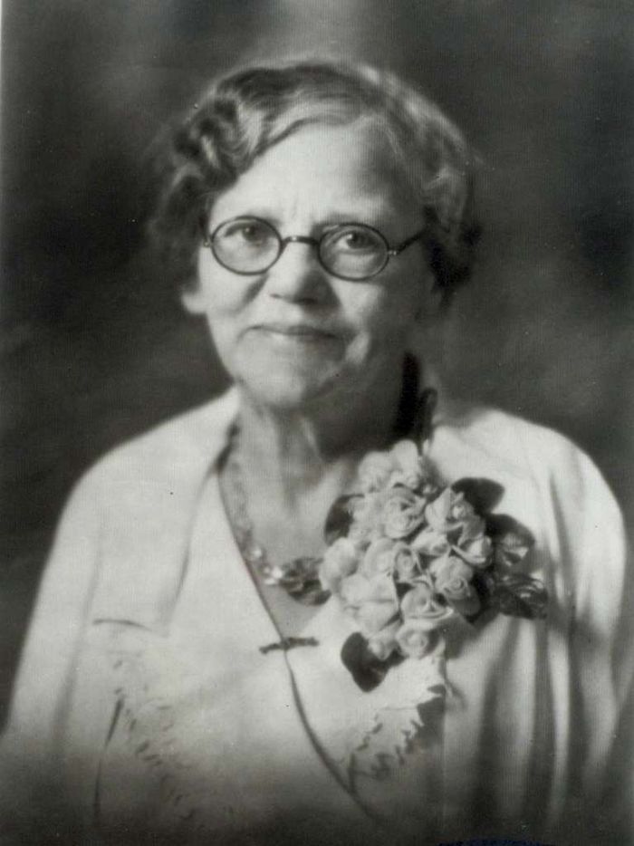
Florence Butt opened a one-room Kerrville grocery with a $60 loan in 1905. A century later, the company she started is famous for showing up with mobile kitchens before the government does.
Read →Buddy Holly was born in Lubbock on September 7, 1936, and died in a plane crash 22 years later. The city that raised him didn't put up a statue until 1980.
In August 1838, Nacogdoches men searching for stolen horses stumbled onto a Tejano-Cherokee-Mexican conspiracy led by Vicente Córdova aimed at overthrowing the young Republic of Texas.
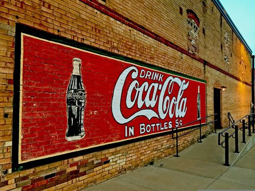
Kilgore's historic Coca-Cola mural survived the East Texas oil boom and nearly a century of weather. Here's what it means — and why it's still standing.
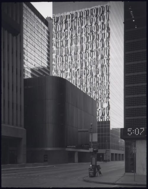
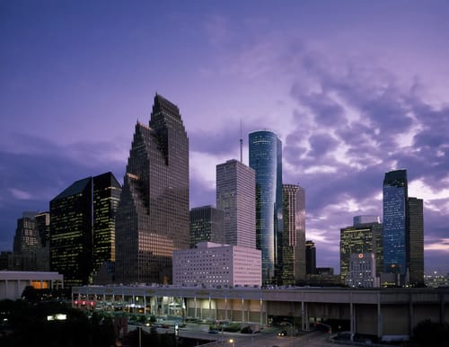
In April 1973, photographer Danny Lyon documented downtown Houston for the EPA's DOCUMERICA project. Here's what he was pointing his camera at—and why it matters.
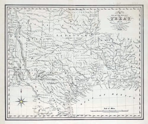
Charles Cheffins' 1841 map of the Republic of Texas documented empresario land grants and vast disputed borders. Here's what it reveals about Texas's ambitious claims.
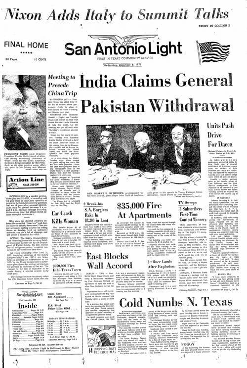
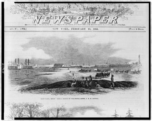
The San Antonio Light ran for 112 years before closing in 1993. Explore the paper's history, its 1971 front page, and what made it essential reading in San Antonio.
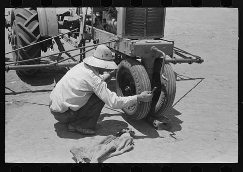
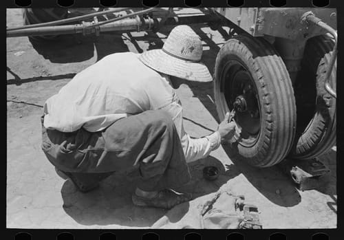
A 1939 Library of Congress photo captures a day laborer checking a tractor wheel bearing on a 4,900-acre farm near Ralls, TX. Here's what that image really tells us.
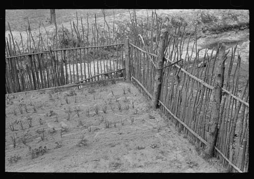
A 1939 Library of Congress photo of a fenced garden near Jefferson, Texas reveals how East Texas farm families protected their food supply during the Depression.
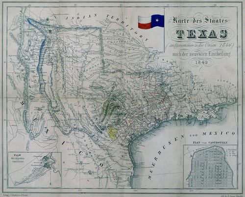
A German publisher mapped Texas in 1849 — and it tells the story of mass immigration, frontier uncertainty, and a state still defining itself. Held at UTA Libraries.
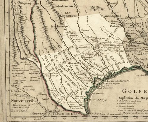
In 1718, French cartographer Guillaume de L'Isle mapped a region he'd never seen and named it Texas. Here's what that map reveals about power, ambition, and identity.
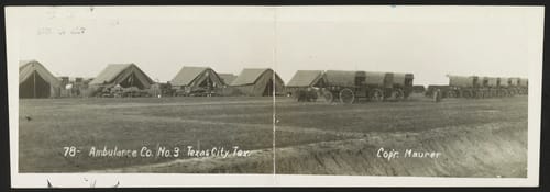
A 1913 postcard photo of Ambulance Company No. 3 captures the U.S. Army's massive 2nd Division encampment that briefly turned tiny Texas City into a military boomtown.
A May 1939 photograph by Russell Lee captures a day laborer racing to fix a tractor mid-planting on a 4,900-acre farm near Ralls, Texas.
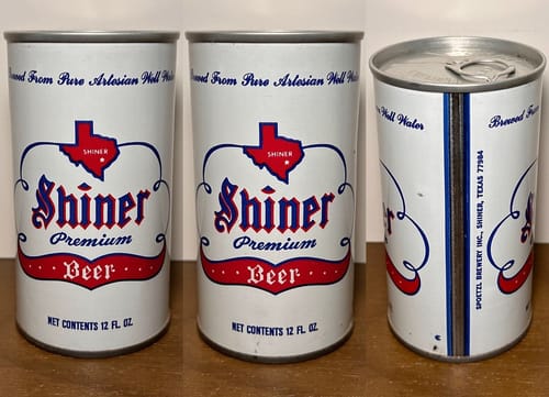
Texas finally let you buy beer before noon on Sunday in 2021 — but the state's complicated relationship with alcohol goes all the way back to the Republic. Here's the full timeline, from saloon bans to House Bill 1518.
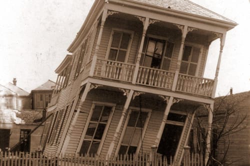
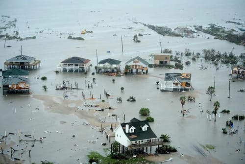
From the 1900 Galveston hurricane to the 2025 Guadalupe River flood, Texas keeps having the same argument with water — the rain arrives faster than the warning does. A look at how Galveston, Houston, and the Hill Country each answered the same problem differently.
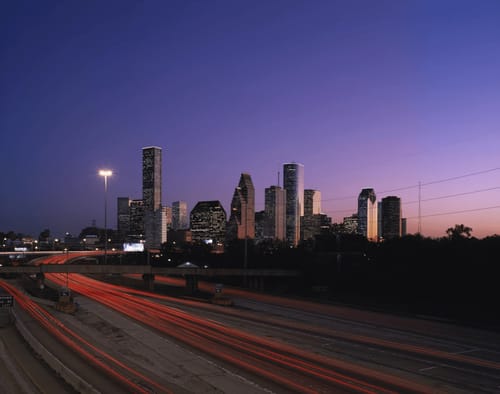
Carol Highsmith's Library of Congress photograph of Houston captures a city that's always outrunning itself. Here's what that image really documents.
Before Texas was Texas, it was the loudest room on the continent. Dozens of languages — indigenous isolates with no known relatives on earth, colonial tongues, immigrant dialects built in the Hill Country and Karnes County, and post-1975 arrivals that now claim millions of speakers statewide — have all crossed this ground. Some are gone. Some are barely breathing. A few just arrived.
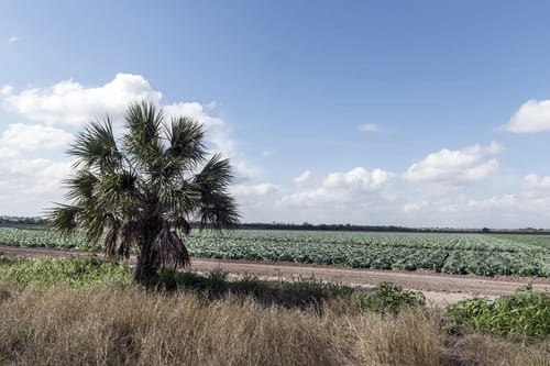
A 2014 Library of Congress photo captures one palm tree at the edge of a Cameron County produce field — and the deep agricultural history behind it.
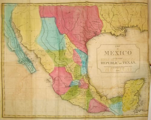
A look at John Milton Niles' 1838 map of Mexico and the Republic of Texas — what it shows, what it gets wrong, and why it matters for Texas history.
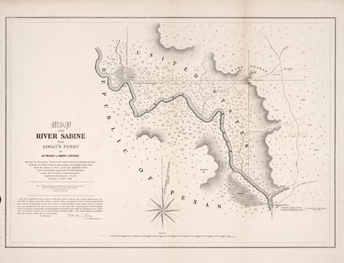
A surveyor named A.B. Gray mapped the Sabine River boundary between the US and Republic of Texas in 1842. Here's the story behind the map that took years to reach Congress.
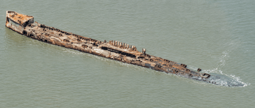
The SS Selma launched on the last day of WWI, cracked her hull on her first real job, and spent the next century in Galveston Bay — as a bootlegger's cache, a chicken farm, a national newsreel, and eventually a National Historic Place.
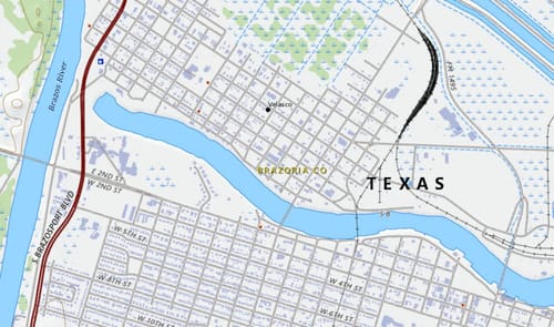
Velasco, Texas was the site of the first armed clash between Texans and Mexico in 1832 and where Santa Anna signed the Treaties of Velasco in 1836. Here's its full story.
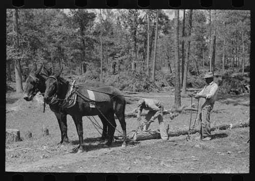
A 1939 Library of Congress photograph documents land clearing at Sabine Farms near Marshall, Texas — a New Deal FSA resettlement project in Harrison County.
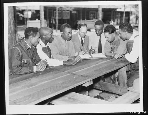
In 1941, Black homesteaders at Sabine Farms near Marshall, Texas signed a group medical contract with Dr. A.O. Lee — a quiet act of community self-determination.
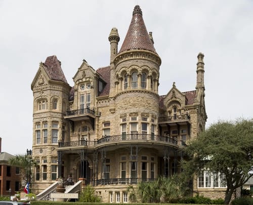
Bishop's Palace on Broadway in Galveston is one of America's great Victorian landmarks. Here's the full story behind Gresham's Castle and why it still stands.
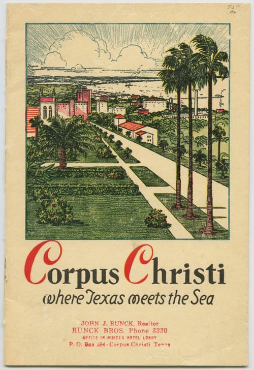
A 1935 Corpus Christi Chamber of Commerce pamphlet captures the city mid-transformation — still pitching palm trees and sea breezes while the port and oilfields were rewriting everything.
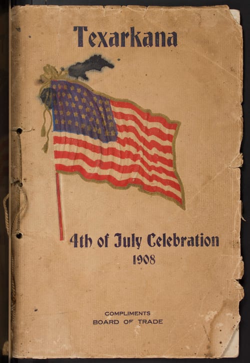
An 118-year-old pamphlet from Texarkana's Board of Trade captures a Fourth of July celebration on the first morning the 46-star American flag flew — in a city built on two states and one state line.
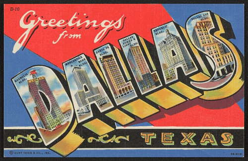
A 1944 linen postcard spells out D-A-L-L-A-S with six of the city’s most iconic buildings — including the Pegasus-topped Magnolia and the wartime Mercantile Bank. Here’s what each letter is hiding.
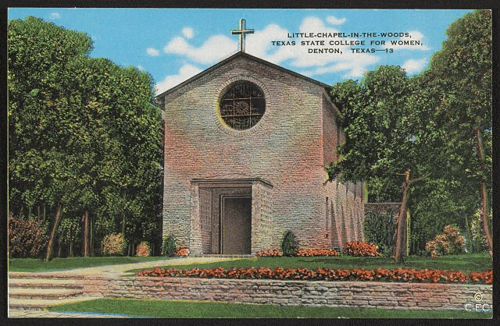
Tucked into a grove of trees on the TWU campus in Denton, the Little Chapel-in-the-Woods was hand-built by 300 students during the Great Depression and dedicated by Eleanor Roosevelt. It's one of the most extraordinary buildings in Texas.
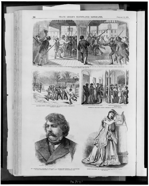
In January 1874, Austin became a powder keg. Democrats flooded the Texas Capitol to oust Radical Republican Governor Edmund Davis in one of the most dramatic political standoffs in state history.